Across the United States, discussions about global tensions sometimes raise concerns about the possibility of nuclear conflict. While no such war is currently underway, scientists, defense analysts, and policy institutions have long conducted hypothetical modeling to better understand how a worst-case nuclear scenario might unfold. These models are not predictions, but tools designed to inform preparedness, policy decisions, and emergency planning.
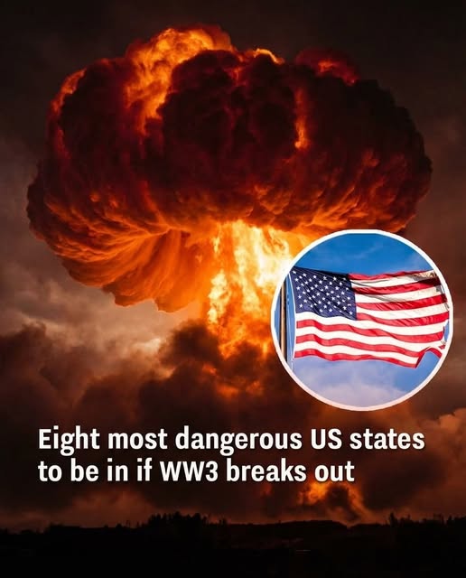
A major focus of these simulations is the role of strategic military assets—particularly intercontinental ballistic missile (ICBM) silos. These land-based systems are part of the U.S. nuclear triad, alongside submarines and strategic bombers, and serve as a key element of deterrence. Because missile silos are fixed, widely known, and geographically concentrated, they are often treated in simulations as likely targets in a theoretical first strike. Most U.S. silos are located in states such as Montana, North Dakota, Wyoming, Nebraska, and Colorado.
Researchers from leading institutions, including Princeton University and Columbia University, have modeled how radioactive fallout could spread if these sites were attacked. Using atmospheric data and weather patterns, studies suggest that areas near these silo fields—particularly parts of the Great Plains and upper Midwest—could face the highest immediate risks from blast effects and radiation exposure. In some scenarios, nearby states like Minnesota, Iowa, and Kansas may also experience significant fallout depending on wind direction.
However, experts emphasize that no region would be entirely unaffected in a large-scale nuclear exchange. Even areas modeled as having “lower relative exposure,” such as parts of the Northeast, Southeast, and West Coast, could still face serious consequences. Fallout can travel long distances, and broader impacts—such as infrastructure collapse, food and water contamination, economic disruption, and public health crises—would likely extend nationwide and beyond.
Geography plays an important role in these models, but it is not deterministic. Weather conditions, especially wind patterns and precipitation, can dramatically alter how radioactive materials spread. A region considered lower risk under one set of conditions might face higher exposure under another. Additionally, major population centers, transportation hubs, and critical infrastructure could be indirectly affected even if they are not primary targets.
Importantly, experts stress that these simulations are meant to support preparedness—not to suggest that nuclear war is likely or imminent. International diplomacy, deterrence strategies, and arms control agreements are all designed to prevent such outcomes. Mechanisms like communication hotlines and verification systems exist specifically to reduce the risk of escalation.
Preparedness efforts focus on resilience rather than fear. Agencies such as FEMA encourage general emergency readiness, including understanding sheltering practices, communication plans, and basic survival strategies. In the context of nuclear risk, guidance often emphasizes simple protective measures like staying indoors and minimizing exposure during fallout events.
Ultimately, the key takeaway from these studies is that nuclear conflict would have widespread and interconnected consequences, affecting far more than initial target zones. The purpose of modeling is to highlight vulnerabilities, improve response systems, and strengthen infrastructure—not to predict specific events.
The overarching message from experts is clear: preventing nuclear conflict remains the highest priority, and preparedness is about ensuring society can respond effectively to a wide range of potential crises—not fueling alarm or fear about any single scenario.